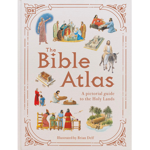
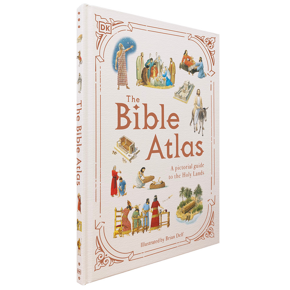

The Bible Atlas: A Pictorial Guide to the Holy Lands
£14.50
15 in stock
Description
The Bible Atlas: A Pictorial Guide to the Holy Lands
By Stephen Motyer (author), Brian Delf (illustrator)
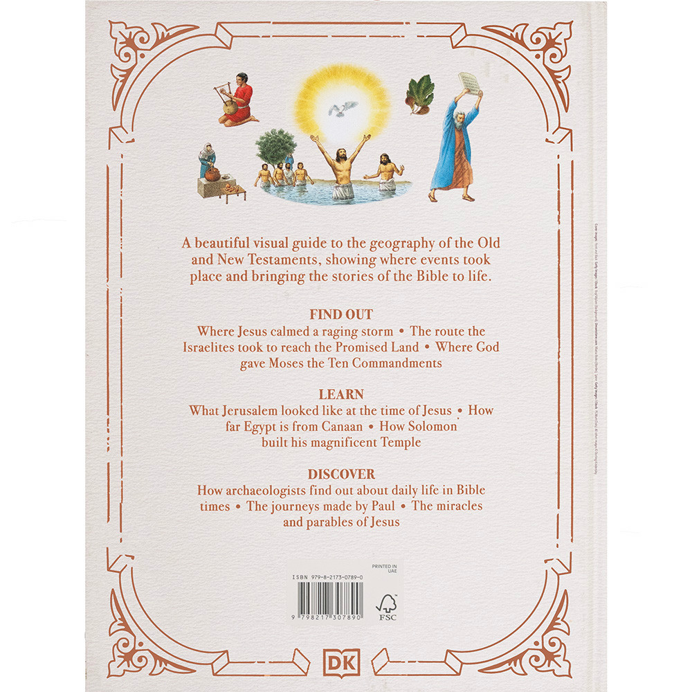
This illustrated atlas for young people explores key events from the Old and New Testaments with detailed maps, colorful illustrations, and photographs. The engaging visuals retell stories alongside descriptions of ancient life and sites like the Sea of Galilee and Jerusalem. The book includes timelines and accessible explanations, encouraging a deeper exploration of the Bible.
Language: English
Publisher: DK
Format: Hardback
Pages: 64
Weight: 0.60 kg (1.32 lbs)
Dimensions: 24.1 x 31.8 cm (9.5 x 12.5 inches)
ISBN: 979-8-2173-0789-0
Additional information
| Weight | 600 g |
|---|---|
| Dimensions | 31.8 × 24.1 cm |
| Title | Default Title |
Related products
-

Children: Stories of Healing: Jesus and his Followers (HB)
£30.00 Add to basket -
The New Interpreter’s Bible One-Volume Commentary
£65.00 Add to basket -
Bible – KJV Reader’s Sterling Edition (HB) Indexed
£65.00 Add to basket -
Qué significa la Navidad para mí y otros mensajes de Navidad// What Christmas Means to Me and Other Christmas Messages – Spanish
£18.00 Add to basket


Reviews
There are no reviews yet.